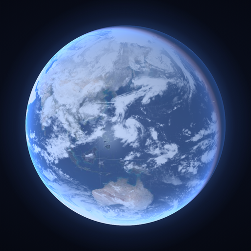
Earth and Moon
See the Earth as it is, right now
The browser version is always up to date.The App Store version goes through review,so new features reach it a little later.
What it shows
What is happening on Earth, now
The clouds are the latest satellite images. The night lights are NASA observations. The rain is Japan Meteorological Agency radar.
Typhoons, the ISS, and where the Sun and Moon sit in your sky are all live. Move time forward and the day–night line sweeps on, the Moon travels its orbit and the rain drifts.
01
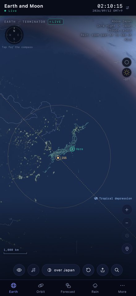
Earth
The day–night line, clouds, rain, city lights and borders. Zoom right in to street level.
- Typhoons and the ISS, where they are now
- Which way the Sun and Moon are. Turn your phone and the globe turns with it
- Zoom in and it switches to sharper satellite imagery
02
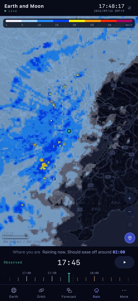
Rain
Japan Meteorological Agency radar. Scrub from two hours ago to twelve hours ahead.
- One line tells you when rain will reach you
- The time you scrub to applies to day and night on the globe as well
03
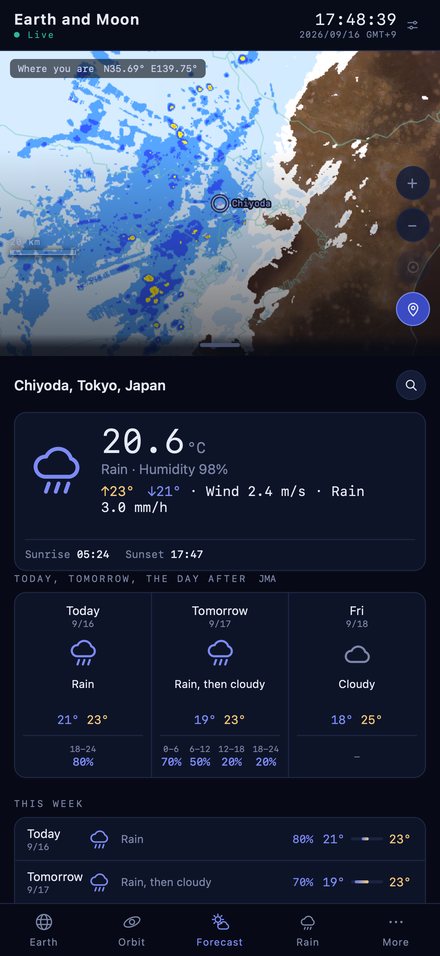
Forecast
Spin the globe and tap the town you want.
- In Japan, Japan Meteorological Agency forecasts and AMeDAS observations
- Anywhere else in the world works too
04
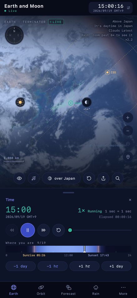
Time
The day is a single band — dark for night, bright for day. Touch it to jump to that time.
- Sunrise and sunset are where the colour changes
- The globe, the rain and the Moon all run on the same clock
05
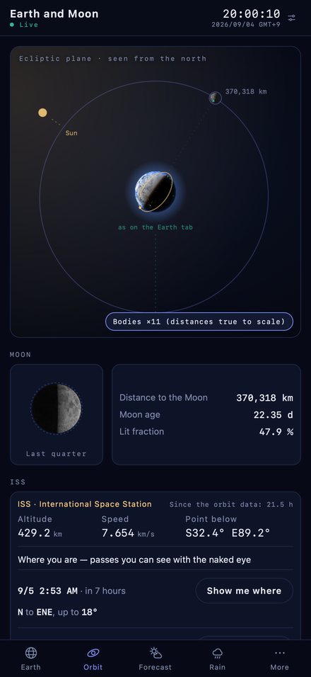
Orbit
Distance to the Moon, its age and phase. It also tells you when you can next see the ISS.
Finding a place
Go straight to a place
- By name
- Major cities around the world, and towns across Japan. Kyoto / Paris / Cape Town
- By postcode
- A Japanese postcode takes you to its town. 100-0001
- By coordinates
- Degrees, minutes and seconds work too. This is the one search that never leaves your device. 35.685, 139.753
ISS pass map
When can you see the ISS from Japan?
After sunset or before sunrise, the International Space Station crosses the sky in a few minutes, like a bright star. This map takes the next pass you can see with the naked eye from the place you choose, and shows when and in which direction the same pass appears from major cities in Japan — calculated right now. Each label gives the time it first appears, with the direction at its highest point in brackets.
Calculating…
Modelled on the Japan Weather Association’s Kibo pass map. Orbit data is CelesTrak TLE; the coastline is from GSI Japan. The propagation is simplified, so times can be a few minutes off. The same map is in the app’s Orbit tab, where you can use a place you picked or your own location.
Sources
Where the data comes from
Japan Meteorological Agency (rain radar, forecasts, AMeDAS, weather charts). GSI Japan (maps and place names in Japan). NASA (land, night lights, global rainfall). EOX (Copernicus Sentinel-2 imagery, CC BY 4.0). GeoNames (world city names, CC BY 4.0). NOAA (tropical storms). Open-Meteo (forecasts outside Japan). CelesTrak (ISS orbit data).